民用AUVunderwateractive; operated by the U.S. National Deep Submergence Facility
图库
概述
WHOI's 6,000 m science AUV that maps the deep seafloor at high resolution for the U.S. research fleet.
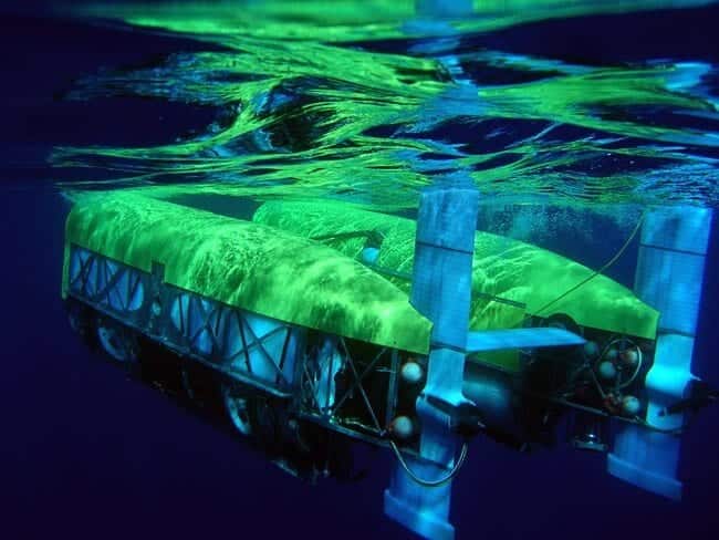
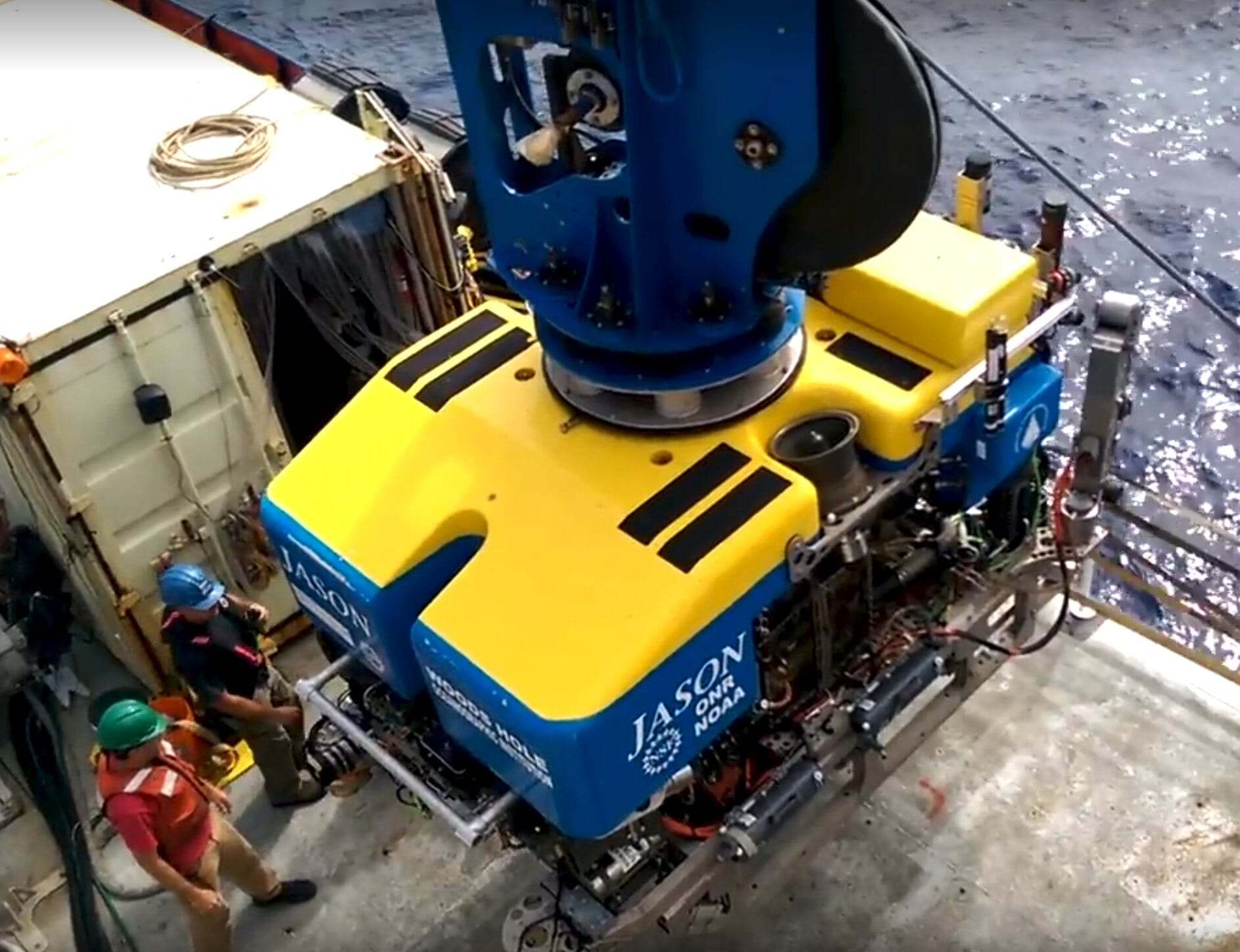
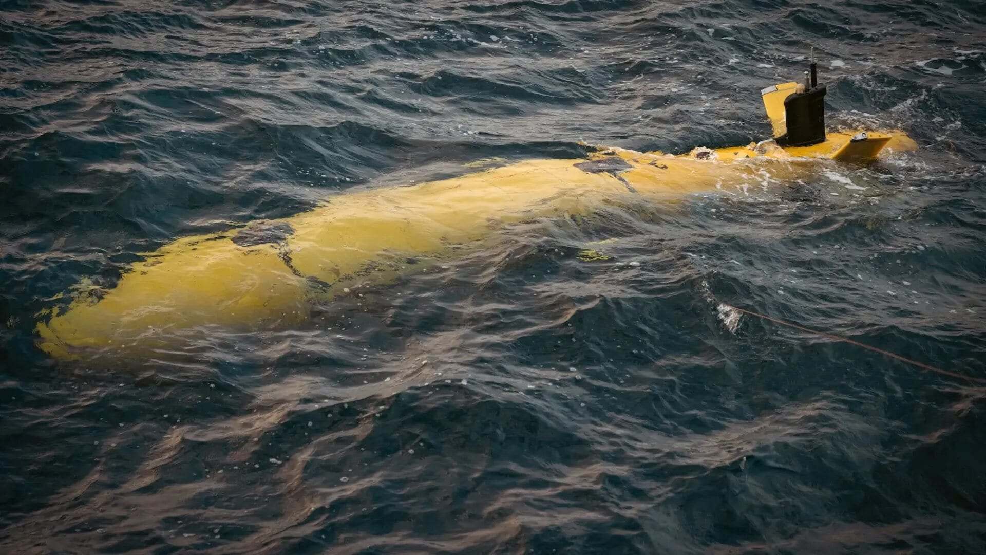
Sentry is the deep-diving autonomous underwater vehicle of the U.S. National Deep Submergence Facility at Woods Hole Oceanographic Institution. Rated to 6,000 m, it reaches nearly all of the world's seafloor. Its unusual shape, with four swivelling foils carrying thrusters, lets it manoeuvre tightly, follow rugged terrain closely, and dive and climb quickly. On dives that typically last a day, Sentry flies at one to two knots, collecting multibeam and sidescan sonar, sub-bottom, magnetic, photographic, and chemical data. Scientists use it to make detailed maps of hydrothermal vents, volcanoes, and methane seeps, to find shipwrecks and lost equipment, and to guide follow-up dives by the Jason ROV and the crewed submersible Alvin.
WHOI rates Sentry to 6,000 m (its first missions in 2008 were to 5,000 m). Dimensions are about 2.9 m long, 2.2 m wide including thrusters, and 1.8 m high. Missions last 12-30 hours at 1-2 kn. Sentry often works alongside the Jason ROV and Alvin submersible.
技术规格
长度
2.9 m
最大深度
6000 m
续航
12-30 hours per dive (typically 24+ hours)
速度
1-2 kn survey speed
有效载荷
Multibeam and sidescan sonar, sub-bottom profiler, magnetometer, colour camera, and chemical sensors
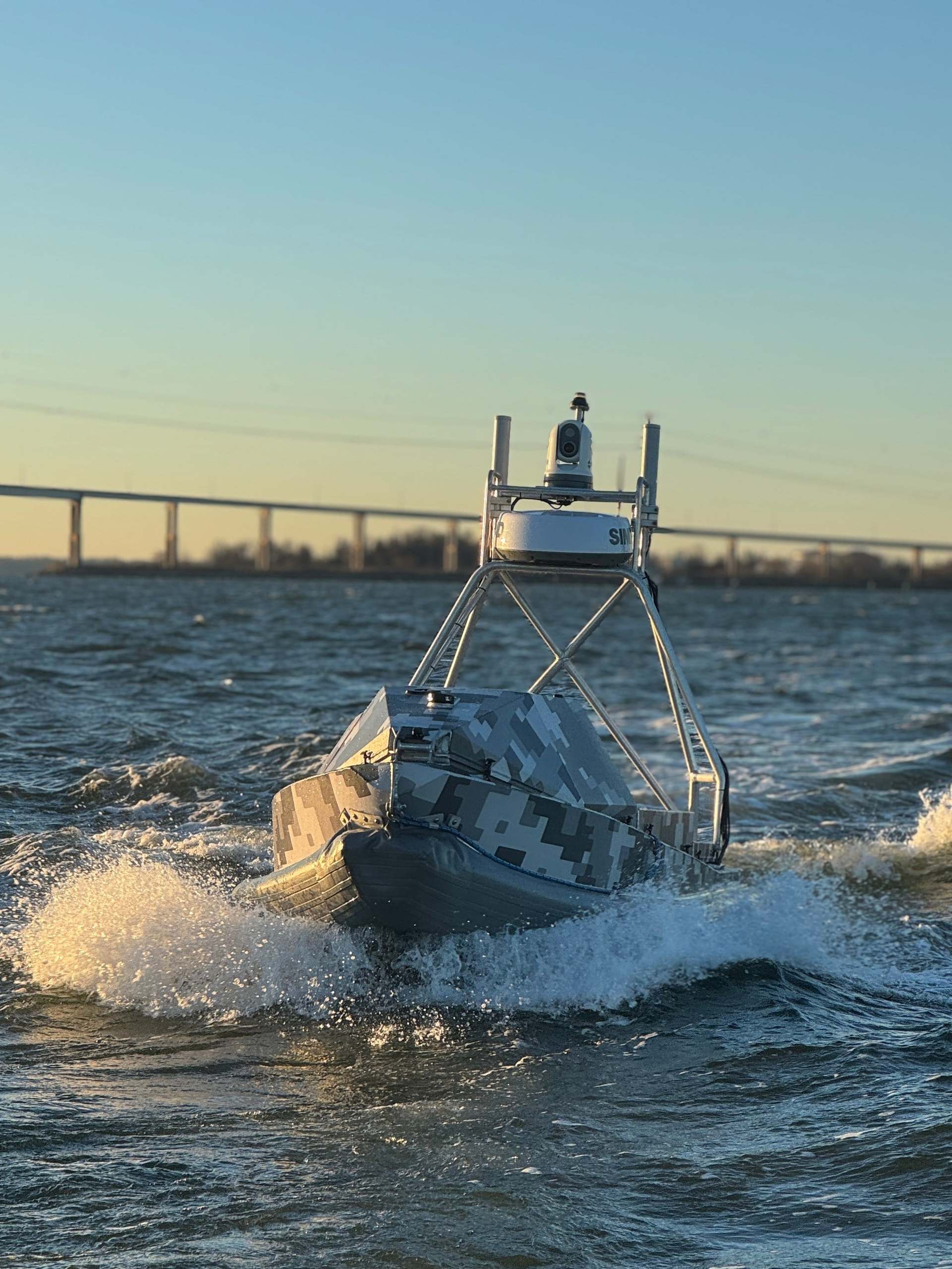
BlackSea Technologies recently participated in Arctic Sentry 2026, a NATO enhanced vigilance activity in the High North, demonstrating its Global Autonomous Reconnaissance Craft (GARC) in Ramsund, Norway, alongside partners from U.S. 6th F…
 USV
USV