Dorado Mapping AUV
Galería
Descripción general
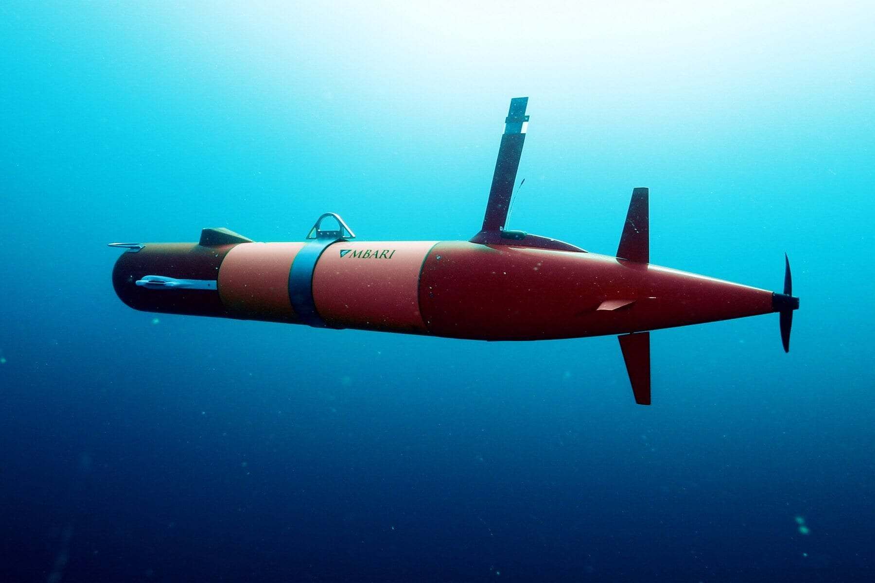
MBARI's Dorado-class mapping AUVs, which produce metre-scale maps of the deep seafloor down to 6,000 m.
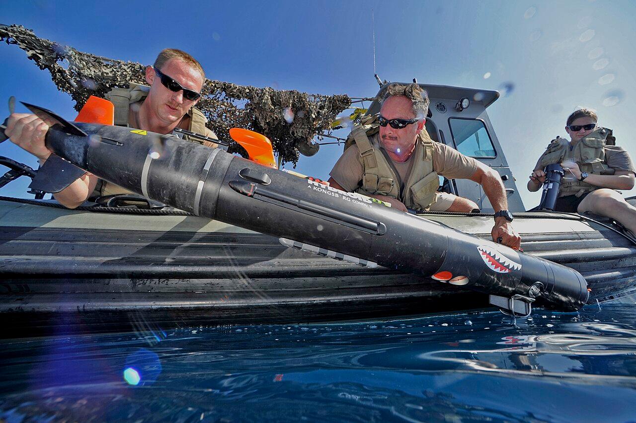
The Dorado-class AUVs are a family of torpedo-shaped vehicles built by the Monterey Bay Aquarium Research Institute, best known for its mapping AUVs that chart the deep seafloor in remarkable detail. The mapping vehicle is about 5.3 m long and 0.53 m in diameter, built from modular sections, and every component is rated to 6,000 m. Flying about 50 m above the seafloor at 3 knots for up to 17.5 hours, it combines a multibeam sonar, two side-scan sonars, and a sub-bottom profiler to produce maps with roughly one-metre resolution. MBARI uses these maps to study submarine canyons, volcanoes, cold seeps, and habitats, and to plan precise follow-up dives with its ROVs.
Roles principales
Notas
MBARI figures for the Mapping AUV 'D. Allan B.': 0.53 m diameter, about 5.3 m long in three modular sections, about 680 kg, all components rated to 6,000 m, about 17.5 hours at 1.5 m/s, 14.5 kWh of lithium-ion batteries in glass spheres. Dorado-class lengths range up to about 6 m depending on configuration.